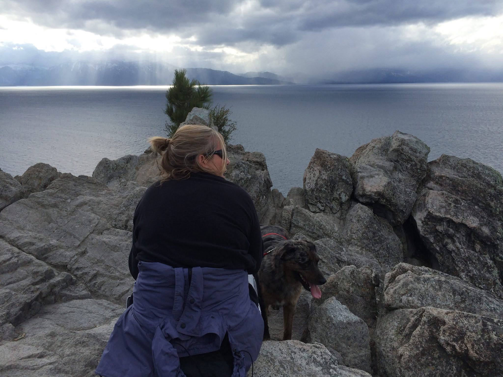
Walk to the top of Cave Rock for this view!
The Cave Rock Trail at Lake Tahoe is a short, 0.8-mile round-trip hike with about 100 to 165 feet of elevation gain. It features an easy dirt path followed by a steep, rocky scramble to the summit for panoramic lake views.
Trail Details
Length: ~0.8 miles round-trip
Time: 30 to 45 minutes
Difficulty: Easy walking path, ending in a moderate-to-difficult rock scramble requiring hands and feet
Getting to the Trailhead
Location: Do not park down by the water at the state park beach; the trail does not connect from there.
Directions:Walk across Hwy 50, turn onto Cave Rock Drive (near the highway tunnel) and walk about a quarter-mile up to the sharp bend where a tiny roadside pull-out parking area sits on the left. Keep walking up the trail.